
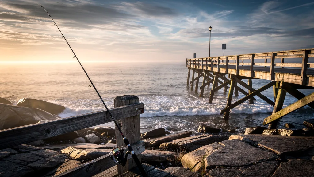
Massachusetts Launches Comprehensive Interactive Map for Anglers
Anglers in Massachusetts have long faced the logistical challenge of finding legal access points, parking, and suitable spots to cast a line. In a significant move to modernize the fishing experience, a new interactive map has been launched to streamline how residents and visitors navigate the state’s diverse waterways. This digital tool aims to eliminate the frustration of driving between locations in search of public access, allowing for more time spent on the water and less time behind the wheel.
A Digital Solution for Bay State Anglers
The initiative, recently highlighted by On The Water, provides a user-friendly interface that identifies verified fishing locations across the Commonwealth. Whether you are targeting striped bass along the coast or seeking quiet freshwater ponds for largemouth bass, the map serves as a centralized database for public access. By consolidating information that was previously scattered across various municipal and state websites, the tool offers a reliable resource for both novice and experienced fishermen.
Finding a place to park is often the biggest hurdle for shore-based anglers. The new map specifically addresses this by marking legal parking areas, boat ramps, and pier access. This level of detail is essential in a state where private property boundaries and local parking restrictions can often be confusing. For those who enjoy the strategic side of sports, much like fans who engage with daily sports quizzes and trivia, having the right data at your fingertips can significantly improve your success rate.
Enhancing the Outdoor Experience
The launch of this map reflects a broader trend in sports and recreation where data and technology are used to enhance the user experience. Just as Formula 1 insights provide fans with a deeper understanding of track dynamics, this interactive tool gives anglers a clearer picture of the terrain and regulations they will encounter. It includes details on fish species commonly found in specific areas and the types of facilities available on-site, such as restrooms or handicap-accessible platforms.
Promoting Sustainable and Legal Fishing
Beyond convenience, the interactive map plays a crucial role in conservation and legal compliance. By directing anglers to official public access points, the state can better manage foot traffic and reduce trespassing on private lands. It also ensures that fishermen are aware of specific local regulations that may apply to certain bodies of water. This organized approach to management is not unlike the structured planning seen in professional sports, such as the managerial changes for the 2026-27 season, where clear frameworks are established to ensure long-term success.
For those looking to plan their next outing, the tool is accessible via mobile devices, making it a valuable companion for real-time decision-making in the field. You can find more detailed information and access the map through the original report on On The Water. As the season progresses, state authorities expect to update the map with seasonal closures and new access points, ensuring the community remains well-informed throughout the year.